MRO-TEK provides fully supported, user-friendly, drone-enabled technologies and services developed exclusively for agriculture. Our solutions are designed to deliver real value for farmers - reducing crop inputs, boosting yields, and increasing profits. With us you can maximize yield and minimize cost. Our drone services and data products are designed to work independently or holistically from the beginning to the end so you can maximize crop performance, optimize asset monitoring and manage your crops more efficiently. Our drones will provide live data from a range of sensors.MRO-TEK Drones supplies aerial mapping services in high-resolution (up to 2cm/px). Our service is beneficial to surveyors, architects, construction companies & municipalities. We can export the orthophotos or DSM in a variety of formats to GIS & CAD suites. We're now also doing 3D mapping of places, buildings & objects for game developers and museums. We have extensive experience in creating high-resolution 360 images for simulation, VR applications and advertising. The ability to view the earth from the air is a prerequisite for many types of surveying applications. We offer two distinct platforms.
MRO-TEK DRONES AT GLANCE
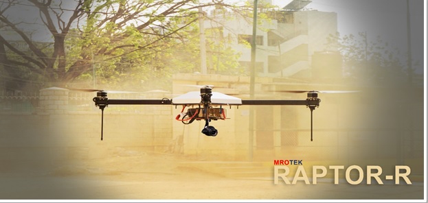

RAPTOR-R
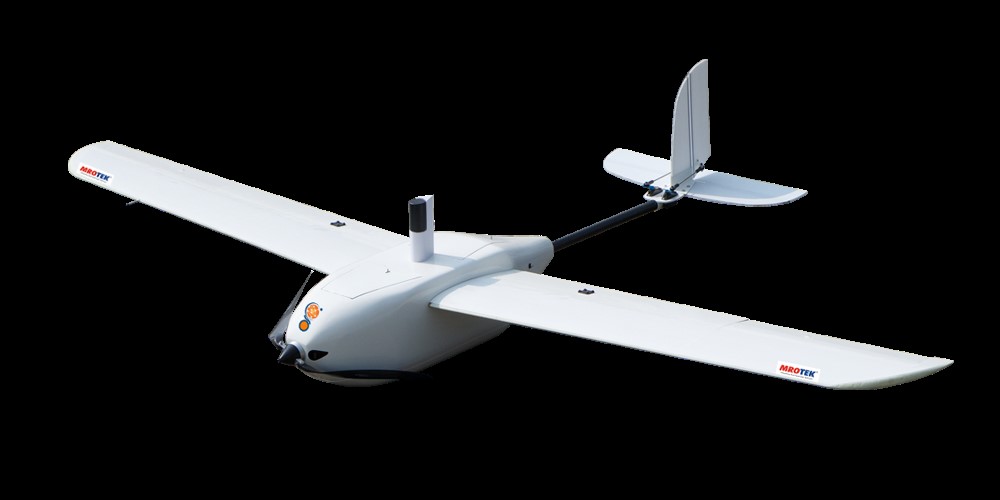
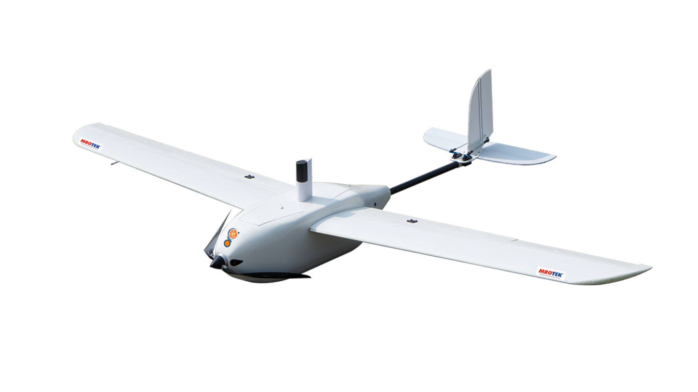
MITRA AG-10

| Parameters | Specifications |
| Main Parts Material | 3K Carbon Fiber |
| Total Weight (without Battery) | 6.5Kg |
| Full Load Weight | 22.5Kg |
| Tele Control Distance | 1000 mtrs |
| Operation Speed | 2-8 m/second |
| Max. Flying Speed | 20m/s |
| Standard Operating Payload | 10 L |
| Operating Temperature | 0 Deg - to 50 Deg Celcius |
| Feature / Function | A-B point spray, Area Spraying plan, Breaking point continual spraying, Empty tank remind, Terrain follow spraying |

FALCON - Mapping Drone
PHANTOM 4 PRO


Long Range Survey Drones
Versatile Hexacopter:X6
MilGrade -4KG Quadcopter
Matrice 200 - with PPK Quadcopter